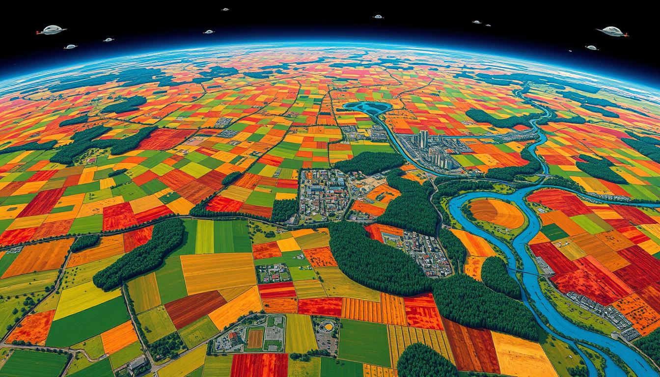
Remote Sensing for Land Management
Remote sensing has changed how we watch over and manage land. It uses satellite images and advanced sensors to collect data. This helps us understand land cover, vegetation, and soil moisture. It guides us to make better choices for the land.
Remote sensing has been around for over a century. European countries were the first to use it for mapping. Now, with over 2,500 satellites in space, we have more data than ever. It helps us keep an eye on crops, land changes, and deforestation.
As the world’s population grows, so does the need for better land use. Remote sensing helps us improve farming and city planning. Adding AI and ML to remote sensing data makes our decisions even better.
Key Takeaways
- Remote sensing technologies enable detailed monitoring and analysis of land resources
- Satellite imagery analysis, geospatial data processing, and advanced sensors are key components of remote sensing
- Remote sensing supports sustainable land management practices in agriculture, urban planning, and environmental conservation
- Integration of AI and ML with remote sensing data enhances decision-making capabilities
- Remote sensing plays a crucial role in ensuring food security and resilient urban and natural environments
Understanding Remote Sensing in Land Management
Remote sensing has changed how we watch over and manage land. It uses satellites or planes to gather data from afar. This helps us understand the health of our natural resources. It’s key for meeting UN goals through better land use.
Definition and Overview
Remote sensing is about getting info from a distance. It uses sensors on satellites, planes, or drones. These sensors pick up energy from the Earth’s surface. Then, we use this data to learn about the land, like its cover and health.
Importance of Remote Sensing
Remote sensing is vital for managing land well. It offers quick, accurate, and affordable data over big areas. Its benefits include:
- Watching land use and cover changes
- Checking crop health and predicting yields
- Finding and tracking natural disasters
- Helping protect biodiversity
- Supporting precise farming
By mixing remote sensing data with ground info and GIS, we can make smart choices. This helps us use and protect resources better.
Key Technologies Used
Remote sensing uses advanced tech to get good data. Some main tools are:
- Satellite imagery: High-res images from satellites like Landsat and Sentinel help map land and track changes.
- Lidar: This tech uses laser pulses to create detailed 3D models. It’s great for measuring land features and vegetation.
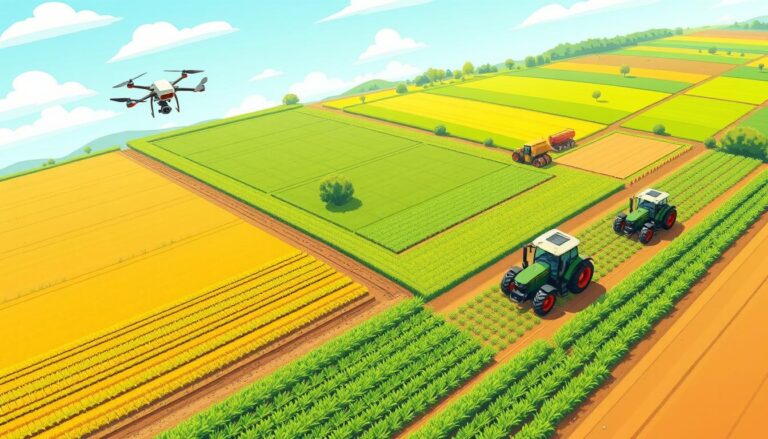
- UAVs: Drones with cameras and sensors are flexible. They’re good for detailed work, like in precision farming and mapping.
“Remote sensing is not about getting data from satellites; it’s about making that data useful for land management.” – Jürgen Schellberg
As remote sensing tech gets better, it will work even better with GIS and AI. This will help us manage land more sustainably.
Applications of Remote Sensing in Agriculture
Remote sensing has changed how we manage farms, giving farmers key insights to grow crops better. It uses advanced tech and data to help with precision farming. This improves crop health, resource use, and predicting yields.
Crop Health Monitoring
Remote sensing is great for checking on crops. It uses aerial photos and digital images to spot problems early. This helps farmers fix issues before they get worse, saving crops and improving yields.
Technologies like multispectral and hyperspectral imaging look at vegetation indices to understand crop health. These indices show how plants are doing, helping farmers make smart choices about water, nutrients, and pests.
Precision Agriculture Techniques
Remote sensing is key in precision farming. It works with GIS to help farmers manage each field differently. This means using water, fertilizers, and pesticides where they’re needed most.
It helps farmers use water wisely and apply fertilizers where they’re needed. This not only boosts yields but also helps the environment by using less resources.
| Technology | Application | Benefits |
|---|---|---|
| Multispectral Imaging | Crop Health Monitoring | Early Detection of Stress and Disease |
| Hyperspectral Imaging | Nutrient Deficiency Analysis | Targeted Fertilizer Application |
| Soil Moisture Sensors | Irrigation Management | Water Conservation and Efficiency |
Yield Prediction
Remote sensing helps predict yields, guiding farmers in planning harvests. It uses past data and weather to forecast yields. This helps farmers plan better and manage resources.
The NASA-funded Global Food Security-Support Analysis Data (GFSAD30) provides high-resolution global cropland data and water usage, derived through multi-sensor remote sensing data such as Landsat, MODIS, and AVHRR, aiming to document cropland dynamics from 1990 to 2017.
Yield prediction models consider many factors like crop type and weather. This helps farmers plan harvests, storage, and sales. It also helps manage risks and ensure food is available.
Remote Sensing for Environmental Monitoring
Remote sensing is key for watching over our environment and managing land. It uses new tech to track land use changes, natural disasters, and help save biodiversity.
Assessing Land Use Change
Land use change detection is a big deal in environmental monitoring. By looking at satellite images over time, scientists can see how land is changing. This helps us understand how human actions affect the planet and plan better for the future.
New tech in remote sensing makes tracking land changes more accurate and fast. For example, the Landsat Next mission will bring even better data in the early 2030s. New methods also help create detailed maps of land use changes, showing trends from the 1970s to now.
Tracking Natural Disasters
Remote sensing is crucial for tracking natural disasters. It helps quickly see how big and bad floods, wildfires, and landslides are. This info is vital for emergency teams and leaders to make quick decisions.
SAR satellite data helps watch water levels in reservoirs. This is super useful in dry areas, helping spot drought risks and protect ecosystems.
Supporting Biodiversity Conservation
Remote sensing helps a lot with saving biodiversity. It gives insights into where animals live, how they move, and how land changes affect them. This info is key for making good plans to protect nature.
| Application | Key Benefits |
|---|---|
| Invasive species monitoring | Early detection and mapping of invasive plant species, aiding in control efforts |
| Habitat mapping | Identification of critical habitats and assessment of fragmentation |
| Species distribution modeling | Prediction of species’ potential ranges and identification of suitable habitats |
Using remote sensing with other tools like GIS makes it even more powerful for saving nature. By mixing remote sensing data with field work and models, scientists can create stronger plans to protect species and their homes.
Benefits of Using Remote Sensing
Remote sensing has changed how we manage land. It uses advanced satellite tech and geospatial data. This helps land managers make better decisions and use resources wisely.
Cost-Effectiveness and Efficiency
Remote sensing is very cost-effective. Traditional field surveys are slow and expensive, especially for large areas. Remote sensing gets accurate data over big areas quickly and cheaply.
This saves time and money. It lets land managers use their resources better. They can plan their land use more effectively.
Studies show satellite imagery can cut ground survey needs by up to 80%. This lowers costs and boosts project efficiency. It lets agencies and groups focus more on land management and conservation.
Data Accuracy and Timeliness
Remote sensing gives accurate and current data on land changes and conditions. It uses advanced satellite tech for detailed imagery. This data helps map and monitor land features like vegetation and water.
It also provides timely updates. This lets managers track changes like natural disasters or crop health. Quick access to this info helps make fast, informed decisions.
Improved Decision-Making
Remote sensing data, combined with ground measurements and GIS, gives a full view of the land. This helps make better decisions and strategies for land use.
For example, it can spot soil erosion areas or check wetland health. Managers can then focus on conservation and sustainable practices. They can also create policies that protect the environment while supporting the economy.
“Remote sensing has become an indispensable tool for effective land management. It provides us with the insights we need to make informed decisions and optimize our resources for a sustainable future.” – Dr. Sarah Thompson, Environmental Scientist
Remote sensing benefits go beyond land management. It’s key in agriculture, disaster response, and urban planning. With accurate and timely data, we can work towards sustainable land use and protect our planet.
Future Trends in Remote Sensing for Land Management
Remote sensing in land management is changing fast. New tech and data integration with GIS and big data analytics are key. These tools help us understand land use, environmental changes, and social factors better. This leads to smarter decisions for a sustainable future.
Advancements in Technology
New tech in remote sensing is exciting. We have high-resolution sensors, hyperspectral imaging, and drones. Planet Labs offers daily updates on land changes with high-resolution images.
Maxar Technologies and Descartes Labs also help. They use AI to analyze satellite images. This supports sustainable development efforts.
Integration with Geographic Information Systems (GIS)
Combining remote sensing with GIS is vital. Esri leads in GIS technology, offering AI tools for land analysis. These tools are key for planning and managing resources.
GeoTerraImage focuses on land cover mapping. They use AI to track changes. This helps in sustainable development with precise data.
Potential Challenges and Solutions
Remote sensing has many benefits but faces challenges. Data management, interoperability, and privacy are big issues. Strong data infrastructures and policies are needed to solve these.
Research and innovation are crucial for sustainable land management. Companies like Orbital Insight and Satelligence use AI and satellite data. They help fight deforestation and support sustainable goals.
Source Links
- Remote Sensing for Land Use: The Future of Land Use Management
- Remote Sensing for Land Administration
- Remote Sensing | US Forest Service Research and Development
- Remote sensing for land management and planning – Environmental Management
- Remote sensing for land administration
- Remote Sensing In Agriculture – What Are Some Applications?
- Applications of Remote Sensing in Agriculture
- Applications of Remote Sensing in Precision Agriculture: A Review
- Remote Sensing for Environmental Monitoring
- What is remote sensing and what is it used for?
- Remote sensing of the environment | RSS
- The Power of Remote Sensing Satellite Images to Help Protect…
- 7 Benefits of Using Remote Sensing & GIS in Agriculture – Surveying Group
- A Systematic Review on Advancements in Remote Sensing for Assessing and Monitoring Land Use and Land Cover Changes Impacts on Surface Water Resources in Semi-Arid Tropical Environments
- Remote Sensing
- AI and Remote Sensing: Mapping Land Use and Land Cover Changes for Sustainable Development