Drone Mapping for Permaculture
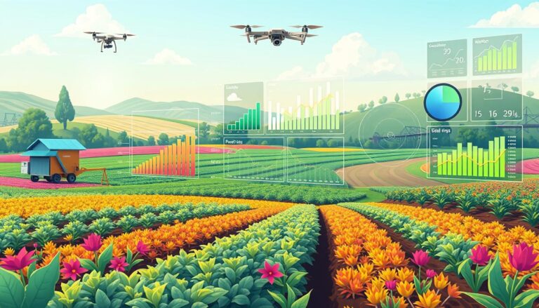
Drone mapping is changing the game in sustainable agriculture, especially for permaculture design. This tech, also known as aerial surveying, makes precision farming and environmental monitoring possible on a large scale. It offers quick and affordable ways to map out sites, transforming how permaculture practitioners work.
Drone mapping is great for making detailed maps of big areas or places without good satellite images. Agrodone, a leading service provider, showed how effective this tech is. They compared aerial images from August 2021 and June 2022 for permaculture design and upkeep.
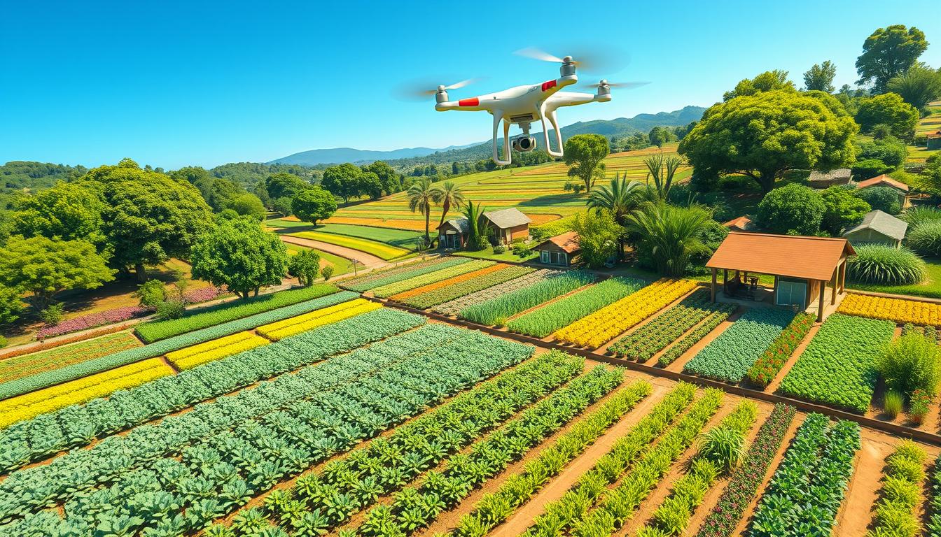
Cost is a big factor in using drone mapping for permaculture. It’s cheaper than traditional land surveys, which helps projects move forward. The DJI Mini 2 drone is a favorite for its low cost, small size, and top-notch images.
Drone mapping gives us low-interval elevation contours, which are key for water catchment and elevation planning. It creates 3D land models, point clouds, and high-resolution orthophotos. These tools help with planning and visualization. Experts say clients can save 40-50% on initial earthworks costs with accurate cut/fill volume reports and site balancing.
Key Takeaways
- Drone mapping is a cost-effective and efficient tool for permaculture design and maintenance
- High-resolution orthophoto images generated by drones equipped with precision GNSS receivers are invaluable for larger areas or those without good satellite imagery
- The DJI Mini 2 drone is a popular choice for its cost-effectiveness, compact size, and excellent image quality
- Drone mapping outputs, such as low-interval elevation contours and 3D land models, are crucial for water catchment and elevation planning in permaculture design
- Clients can save up to 40-50% on initial earthworks costs by utilizing drone mapping and involving experts in accurate cut/fill volume reports and balancing work sites
Understanding Drone Mapping Technology
Drone mapping has changed how we view permaculture. It combines ground-level views with satellite images. This tech gives us detailed insights into the land. It helps us make better choices about crops and land use.
What is Drone Mapping?
Drone mapping uses drones with high-resolution cameras to take aerial photos. These photos are then turned into detailed maps and 3D models. This method is 80% accurate, helping farmers work more efficiently.
AI systems can predict weather, floods, and when to plant or harvest. This makes farming more effective.
Key Features of Drone Mapping
Drone mapping has several key features:
- High-resolution imagery
- 3D terrain modeling
- Precise measurements and dimensions
- Slope and contour analysis
- Vegetation and soil type identification
These features help permaculture experts understand the land better. This leads to better planning and resource use.
Benefits for Agriculture
Drone mapping has many benefits for agriculture, especially in permaculture:
| Benefit | Description |
|---|---|
| Improved crop management | Drone mapping helps farmers monitor crop health and fix problems. It also helps them use resources better. |
| Enhanced land-use planning | It gives detailed data on soil, drainage, and topography. This helps plan land use more effectively. |
| Cost-effective technology | Drone cameras for permaculture are affordable. They cost less than $1,000, making them accessible to small farmers. |
About 70% of the world’s food comes from small farms. Drone mapping could greatly improve food production and sustainability.
Benefits of Drone Mapping in Permaculture
Drone mapping has changed how we analyze sites, manage resources, and protect biodiversity in permaculture. It gives us high-resolution aerial photos and detailed 3D models. These tools offer deep insights into the ecosystems we aim to improve.
Enhancing Site Analysis
Drone mapping greatly improves site analysis in permaculture. With a drone and high-quality cameras, designers can capture detailed images in under 20 minutes. These images are then combined to create a detailed map for accurate measurements.
Drones can also use multispectral and thermal cameras. This gives data on crop health, stress, and pests. This info helps in planning planting, irrigation, and pest control.
Improving Resource Management
Drone mapping is key for better resource management in permaculture. It provides detailed maps of foliage, irrigation, and elevation. This data helps in setting up efficient water systems, like drip irrigation, to save water.
Drone mapping combines aerial photos, GIS data, GPS, and elevation data. This makes mapping for permaculture projects more accurate and timely. It helps designers make smart decisions about resource use and conservation.
Promoting Biodiversity
Drone mapping supports biodiversity in permaculture. It shows detailed images of the landscape. This helps designers spot important areas for native species and wildlife corridors.
Drone mapping also tracks changes in vegetation and species over time. This data is crucial for checking the success of conservation efforts. It helps in adjusting management strategies to keep permaculture landscapes healthy and resilient.
Implementing Drone Mapping in Your Permaculture Design
Using drone mapping technology can greatly improve your permaculture design. It helps with precision farming and managing crops. With tools like aerial photography and GIS data, you can make your permaculture layout better.
When picking a drone, look for ones with high-definition cameras. DJI Innovations offers great options. These drones take detailed pictures that can create 3D maps, just like SolidWorks or Autodesk.
Choosing the Right Drone
The right drone depends on your permaculture site size, mapping needs, and budget. Here are some top choices:
- DJI Phantom 4 Pro: Known for its high-quality camera and extended flight time.
- Parrot Anafi: Lightweight and compact, ideal for smaller properties.
- Autel EVO II: Offers advanced features like obstacle avoidance and 8K video recording.
Planning Your Mapping Session
For a successful drone mapping session, follow these tips:
- Check local regulations and get the needed permits for flying drones.
- Plan your flight path to cover your permaculture site efficiently.
- Choose a time with clear skies and little wind for better results.
- Set the right altitude and overlap for top-quality images.
Analyzing Collected Data
After collecting aerial images, use special software to analyze them. Popular tools include:
| Software | Key Features |
|---|---|
| Pix4D | Automated 3D modeling, terrain analysis, and volume measurements |
| DroneDeploy | Real-time mapping, plant health analysis, and AI-powered insights |
| Agisoft Metashape | High-quality 3D reconstruction, dense point cloud generation, and GIS integration |
Drone mapping technology offers valuable insights into soil, water, and crop health. It helps make data-driven decisions for your permaculture design. As farming and crop management evolve, drone mapping will become more important for sustainable agriculture.
Case Studies: Successful Use of Drone Mapping
Drone mapping has changed the game in sustainable agriculture and environmental monitoring. Many permaculture projects have used this tech, getting great results and learning a lot. Let’s look at some key examples.
Overview of Permaculture Projects
Rob and Michelle Avis are known for their work in permaculture. They left the oil fields to help others and teach. They focus on designing systems for food, water, and more, helping the land and local economy.
Results from Drone Mapping Techniques
The Dronecoria project won the 2019 Pix4D Climate Contest. It surveyed 20 hectares and planted 4 in Sierra de Maria-Los Velez National Park, Spain. They aimed to plant 100,000 Pinus nigra seeds, hoping for 10,000 trees to grow.
The Dronecoria drone is a hexacopter that can carry 10 kilos of seeds. It can cover a hectare in 10 minutes and plant up to half a million seeds. This is key, as forests are lost fast, and planting trees is crucial to fight climate change.
| Project | Area Surveyed | Area Planted | Seeds Planted | Projected New Trees |
|---|---|---|---|---|
| Dronecoria | 20 hectares | 4 hectares | 100,000 | 10,000 |
Lessons Learned
These examples show how drone mapping helps in sustainable agriculture and monitoring. Drones help assess land, manage resources, and support tree planting. Rob and Michelle Avis show how drone mapping boosts sustainability and encourages eco-entrepreneurship.
Drones offer precise crop monitoring, optimized resource management, land mapping, precise irrigation, crop quality improvement, reduced costs, and increased efficiency.
Projects like Dronecoria highlight the need for new solutions to environmental issues. By mixing permaculture with drone tech, we can make agriculture more sustainable for our planet.
Addressing Challenges in Drone Mapping for Permaculture
Drone mapping is great for permaculture design, but it comes with challenges. These can be technical, legal, or about managing what others expect.
One big technical challenge is needing the right skills and gear. You need to know how to plan flights, collect data, and process it. Also, you need top-notch drones with the right sensors and cameras for good data.
Legal Considerations
Legal stuff is key when using drones for permaculture. You must get the right permits and follow the rules. This keeps you out of trouble with the law.
- Get flight permits from the right places
- Follow rules about how high and far you can fly
- Don’t spy on neighbors
- Know who owns the data and how it can be used
Managing Stakeholder Expectations
Talking to people and managing what they expect is crucial. This includes landowners, farmers, and local groups. You should:
- Explain what drones can and can’t do
- Set clear goals and deadlines
- Involve everyone in planning and decisions
- Keep them updated and share what you find
By tackling these issues head-on, you can use drone mapping to its fullest. This helps with planning and keeping things green, while making sure everyone is happy.
| Challenge | Mitigation Strategy |
|---|---|
| Technical limitations | Invest in training and high-quality equipment |
| Legal considerations | Obtain necessary permits and adhere to regulations |
| Stakeholder expectations | Communicate effectively and involve stakeholders in the process |
The Future of Drone Mapping in Sustainable Agriculture
Drone mapping is changing sustainable agriculture and permaculture. New technologies like better sensors and data tools will help. They will make farming more precise and give insights into ecosystems.
Emerging Technologies
The drone market in Australia is expected to reach $8.4 billion by 2028. This growth comes from advanced sensors and AI in data analysis. These tools help farmers check plant health, soil moisture, and fertilizer use more accurately.
Drones with special sensors can look at soil moisture, texture, and composition. This helps farmers plan better for planting, watering, and fertilizing. It leads to healthier crops and higher yields.
Predictions for Efficiency and Yield
Drones could make farming more efficient and save costs. They help farmers use resources like water and fertilizer better. This can cut chemical use by up to 30 percent.
Drones can spray crops and plant seeds with great precision. Some drones can cover up to 100 hectares a day. This precision reduces environmental harm and keeps soil healthy.
Integrating with Other Practices
Drone mapping works well with sustainable practices like regenerative agriculture and agroforestry. It helps manage land and protect it. By using drone data, farmers can use resources more efficiently and reduce waste.
Drones can also map land and find areas prone to erosion. This helps farmers protect their land. As drone technology improves, it will be key to sustainable farming and a better food future.
Source Links
- Aerial imaging for permaculture
- Permaculture Design | Quantum Land Design
- Drone mapping Archives – Ecosystem Restoration Communities
- TECHNOLOGY Agri Intelligence – Permaculture Institute Asia
- GIS in Permaculture – The Permaculture Research Institute
- Maximizing Yield: Advanced Permaculture Strategies for Efficient Farming
- Drones Over Ecovillages
- 3D Orthographic Mapping – The Permaculture Research Institute
- Maps #1: The Permaculture Base Map | Thunderbird Disco Homestead – Permaculture Homesteading Blog
- A tree planting drone to re-green the world
- The impact of drones on sustainable agriculture
- Permaculture Principles: Enhancing Eco-Friendly Farming Practices Near Bangalore
- Nature-Based Solutions: Restoring Rangelands with Keyline Design | U.S. Fish & Wildlife Service
- Drone Technology for Sustainable Agriculture
- Drone technology transforming Australian agriculture
- Embracing Technology for Sustainable Farming: The Role of Drones, Sensors, and AI